The community of Isla Chicales, located in the municipality of Nueva Concepción in the department of Escuintla, is made up of 140 families who benefit directly and indirectly from fishing and other activities in the mangrove ecosystem where they live. Several years ago, when they observed signs of the degradation of the ecosystem, they undertook action and measures for its conservation, including community-based regulation of fishing and hunting, and reforestation in the degraded areas of the mangrove forest.
Guatemala
Bulletin articles
30 July 2013
Other information
30 May 2013
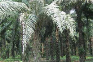
Industrial monoculture oil palm plantations have expanded significantly in Guatemala in recent years. One of the areas that has seen the greatest increase in these plantations is the municipality of Sayaxché, Petén, where companies have determined that the land is optimally suited for oil palm production.
Other information
30 April 2013
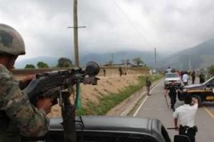
On March 17, several indigenous community leaders from the village of Montaña de Santa María Xalapán, located in southeastern Guatemala in the municipality of San Rafael Las Flores, were kidnapped. The following morning, it was reported that one of them, Exactación Marcos Ucelohabía, had been murdered. According to one of the survivors, “They accused him of opposing the mining company, and said they would kill him.”
Other information
30 April 2013
In Champerico, Guatemala, the Bolas River had completely disappeared, after it was diverted and dammed to provide water for oil palm and sugar cane plantations.
The loss of the river, which normally flows into the wetlands and mangrove forests of Champerico, severely affected the ecosystems and communities in the area. The communities fought back by protesting this “grabbing” of the river and creating a committee to look into the problem.
Bulletin articles
5 June 2011
Government authorities in Guatemala continue to promote metal mining, despite the widespread opposition of local communities and indigenous peoples. Consultations carried out among local populations have clearly demonstrated that they are completely against the further development of mining activities.
Other information
30 December 2010
The Pacific watershed of Guatemala comprises 17 river basins. Most of the rivers in this region have a relatively short length of around 100 kilometres, from their source in the upper reaches of mountains and volcanoes to their mouths on the Pacific coast. One of these rivers is the Coyolate, which begins in the mountains of the department (state) of Chimaltenango and flows through numerous municipalities and communities.
Bulletin articles
29 July 2010
Si vemos un mapa de la cobertura forestal de la república de Guatemala, podremos observar que a lo largo de la línea costera del Pacífico se encuentran de manera interrumpida y dispersa los escasos bosques de manglar. Estos han quedado como islas rodeadas de una serie de actividades que comprometen su permanencia y los beneficios que aportan a las comunidades y a la conservación.
Other information
30 May 2010
Guatemala is facing the possibility of an extension of contract 2-85 that is threatening to expand and increase the oil frontier in one of its most important natural areas, the Laguna del Tigre national park This is the country’s biggest national park and the core area of the Maya Biosphere Reserve, classified under that protection category in 1990 because of its international ecological importance.
Bulletin articles
29 April 2010
The concept of protected areas, born in the United States in the nineteenth century as an idea of conservation by establishing “national parks,” was part of the colonization of the “Wild West” and, in many cases served as an instrument to appropriate indigenous peoples’ territory, handing it over to the States, research centres or corporate interests. Although an international organization such as the International Union for the Conservation of Nature (IUCN) has acknowledged that when establishing protected areas, indigenous peo
Bulletin articles
29 June 2009
In our country, one of the crops that has caused the most negative impacts from its start to the present day is sugarcane. The sugarcane plantations are located in the Pacific Plains, a rich area with fertile soils of volcanic origin and abundant water from rainfall and the rivers born in the volcanic chain. These conditions were perfect for the development of this crop and the expansion of sugar mills.
Other information
30 May 2009
In comparison, Guatemala is a relatively small country but it is very rich in biodiversity. The country is located in the Meso-American* region, the centre of origin of traditional maize and bean landraces, as well as of various species of pumpkins among others.
